

Description
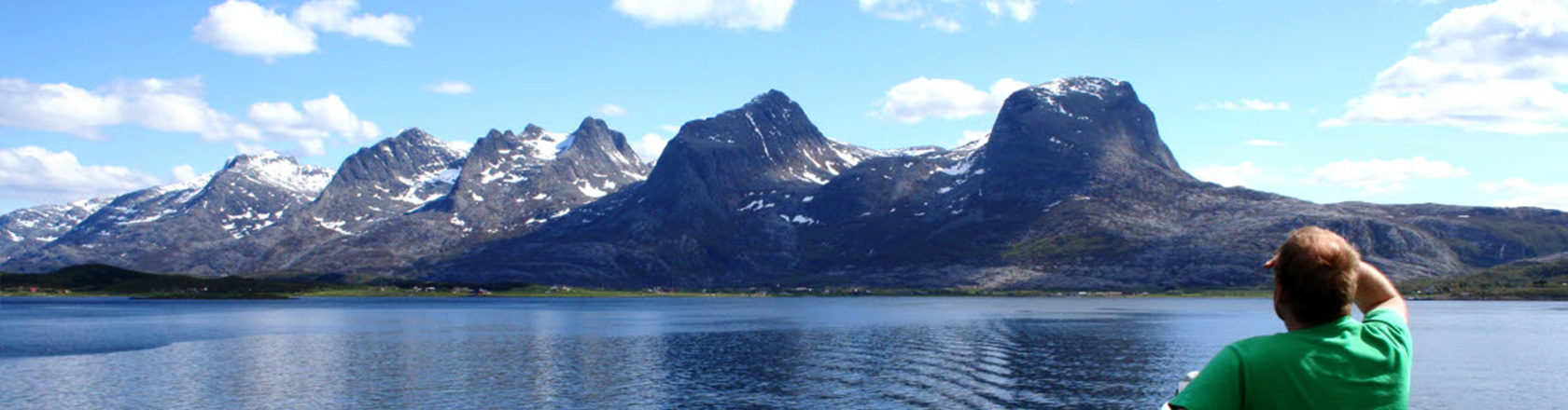
In the south you will pass the peaks of the Seven Sisters and the Torghatten mountain with is characteristic hole; in the north you can see the Svartisen glacier and the worlds strongest tidal current, the Saltstraumen.
The coast of Helgeland is characterised by a unique archipelago of more than 14 000 islands and islets. Long fjords break up the coastline; innermost in the fjords are industrial communities based on hydropower generation. National Tourist Route Helgelandskysten runs from Holm to Godøystraumen with a side road to Torghatten, over a total distance of 433 kilometres (County Road 17). Several roads connect the tourist route to Euroroute 6, making it easy to alternate between them.
Facts: – Exclusive packaging – Unique content – Beautiful and illustrative pictures – Three languages (Norwegian, English and German) – Pictures and information on the map itself – 5 beatiful poscards included – Overview map of Norway.
The National Tourist Routes by Nordeca includes 18 titles in scales from 1:50 000 to 1: 250 000 and contains spectacular viewpoints, nature, sights, activities, architecture, dining and accommodations.